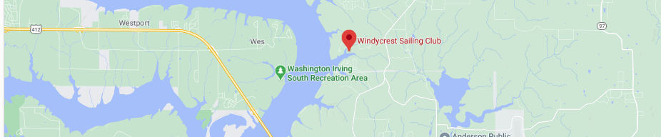
Windycrest
Weekday ## Month Year
##°F
Description
## / ##
##Wind
|
Tabular Forecast 5 Day Forecast Wind Mapper Keystone Hydrograph Keystone Current Level Keystone Flow Status Underground Weather Station on Keystone Lightning Safety Keystone Depth Chart |
|
|

|
| 714.78 | October 25, 1997. Work on the dam tainter gates caused this low level. |
|---|---|
| 723.00 | Normal, 100% conservation pool. 36 feet of clearance under the bridge at normal lake conservation pool. |
| 727.00 | Small beach on Washington Irving North, few trees in the water. |
| 731.00 | A Dock ramp becomes unusable. |
| 733.00 | The turnaround becomes unusable. |
| 734.00 | B Dock ramp becomes unusable. |
| 734.50 | Lower parking lot becomes unusable. |
| 734.30 | C Dock ramp becomes unusable. |
| 738.00 | D-Dock ramp entry start going unusable. |
| 740.00 | Lower floor of Pavilion becomes unusable. |
| 746.20 | Upper turnaround becomes unusable. |
| 750.00 | Upper floor of Pavilion becomes unusable. |
| 754.00 | Top of Flood Control. |
| 757.30 | Record high water, June 2019. |
| US Hwy 412 Bridge Elevations at the bottom of roadway support beams: |
|---|
| 758.98 feet on the east |
| 760.31 feet on the west |